Skip to main content
About us
About us
Members
Governance
Joint calls
Pilot Call 2013 - CSA WatEUr
Joint Call 2015 - WaterWorks 2014
Joint Call 2016 - WaterWorks2015
Joint Call 2017 - IC4WATER
Joint Call 2018 - WaterWorks2017
Joint Transnational Call 2020 - AquaticPollutants
Joint Transnational Call 2020-2021 – BiodivRestore
Funded projects
Document library
Open Data & Open Access
Resources
Document type
Document type
Articles
Brochure of projects from joint calls
Communication material
Consultation
International Strategy
Position Paper
Presentations
Publications
Report
SRIA
Vision Document
Other
Year
Year
2011
2012
2013
2014
2015
2016
2017
2018
2019
2020
2021
2022
2023
2024
2025
Keywords
Keywords
Alignment
AquaticPollutants
Article
Biodiversa
BiodivRestore
Briefing Note
Climate
Communication
Conference
Consultation
Events
Exploratory
Flyer
Framework
Funded Projects
Horizon 2020
IC4Water
Impact Assessment
Implementation
Infographics
International Cooperation
Key Achievements
Knowledge Hub
Management
Mapping
Policy Brief
Position Paper
Presentation
Press Release
Prima
Procedures
SDGs
SRIA
Strategy
Synergy
Vision
Workshop
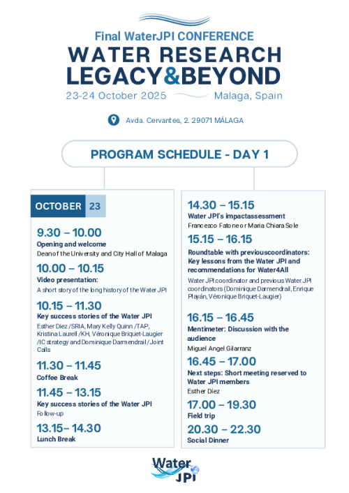
2025 Final Conference Programme
2025
Terms of Reference
2019
Terms of Reference - Duties
2018
Water JPI International Cooperation Strategy
2022
SRIA 0.5
2013
SRIA 1.0
2014
SRIA 2.0
2016
SRIA 2025
2020
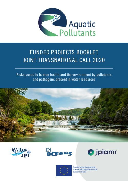
AquaticPollutants Funded Projects Booklet
2025
2013 PilotCall Funded Projects Final Presentations
2015
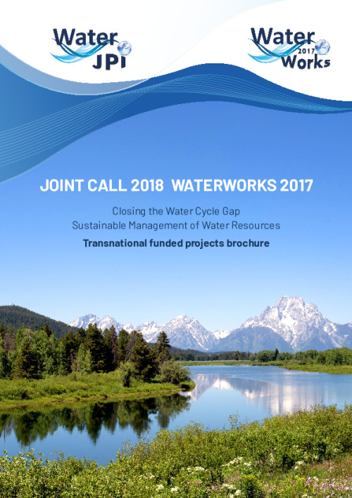
WaterWorks2017 Funded Projects Booklet
2023
BiodivRestore Funded Projects Booklet
2021
Pagination
Page
1
Page
2
Page
3
…
Next page
>
Last page
Last »